View Boulder Creek Loop in a larger map
Directions:
From I5 in Redding take the 299 Eureka/Weaverville exit heading west. Drive about 10 miles towards the Whiskeytown Recreation Area. Drive past the lake and turn left at the Carr Powerhouse exit. The road ends at a parking lot.The Trail:
Start off by heading back out of the parking lot the way you came in and swing the first left on a fire road following the Boulder Creek sign. The dirt road heads up past a water tank where you'll come to your first turn. Turn right. This is where the brutal climb starts. Climb for about 1.5 to 2 miles. Once you get towards the top you'll have some slight downhill until you have to make your next turn. Once you see the green gate, which has a big boulder by it, go left around it. Hikers commonly park around this area and hike down to Boulder Creek Falls. The trail dips down a bit and you're up against a slight climb. Once you get past this hump, the downhill begins. There will be several creek crossings, which are easy to get across if you don't want to get wet. The trail splits again and takes a sharp left. This part of the trail is marked by signs, so follow the one that takes you to South Shore Drive. The trail eventually hits the dirt road South Shore Drive where you'll proceed with a left by the green gate. The road starts to climb a bit and winds down for a little downhill. There's a short climb up by a fence with some blacktop. Take a right down the blacktop which leads you down back to the parking lot where you started.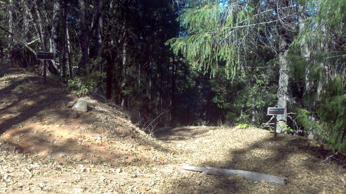 Watch for this hard left