View Chamise Peak in a larger map
Directions:
From I5 in Redding take the Pine Grove exit. Go west until you hit Lake Boulevard, where you will take a right. About a mile north on Lake Boulevard turn left on Flanagan Road. Go down Flanagan a couple miles and it will eventually dead end. The parking area for the trail is on the right.The Trail:
This trail is a short 2.5 mile climb that is connected to the Sacramento River Trails. It's a mellow climb compared to the trails at Whiskeytown. Head up the trail and start climbing. At about a mile-and-a-half you'll arrive at the first split. Go right as the easy to follow sign indicates. After about an eighth of a mile the trail splits again. Turn right and continue up the peak. If you were to go left the trail takes you down to the network of Sacramento River trails. Keep climbing and you hit the peak within a mile. After taking in the views head back down for some fun downhill.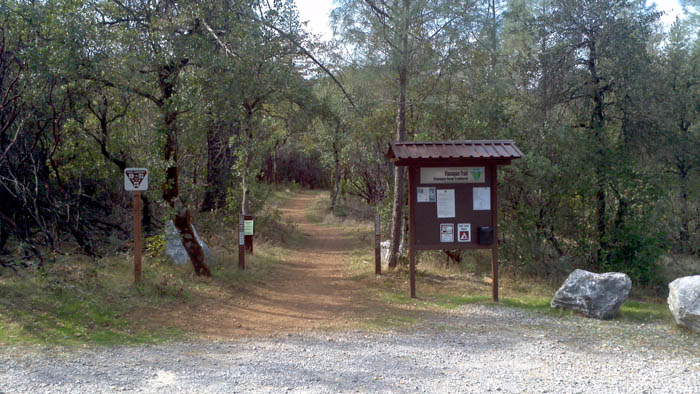 Parking area
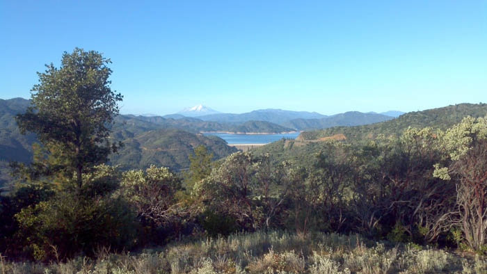 View from top