View Shasta Bally in a larger map
Directions:
From I5 in Redding take the 299 Eureka/Weaverville exit heading west. Drive about 10 miles towards the Whiskeytown Recreation Area. Take a left on JFK Memorial road by the visitors center. Follow the road to the dam and turn right over it. Drive about 3 miles until you reach the Brandy Creek parking lot. There will be a small dirt parking area on the left with Brandy Creek road heading uphill next to it. This is the starting spot. If the area is full there's parking across the street.The Trail:
This trail is not for the weak. It's an advanced ride due to the amount of physical, mental, and spiritual focus you will need getting up this beast. The rewards are bountiful once you summit this long fire road. The elevation gain on this ride is about 5,500 feet according to the My Tracks mobile app, and 9.6 miles one way. Watch for people taking the easy way up in their 4x4s.Start by climbing up Brandy Creek road. The pavement ends shortly and turns into a dirt fire road. Climb the road for about 2 to 3 miles and follow the Sheep Camp sign by turning right down a short hill and over a bridge. Once at Sheep Camp, which is pretty much the base of Bally, the road starts to climb fast. This is what you have to look forward to for about the
next 6 miles or so. A broadcast station sits at the top, so you have a reference
point as you're pushing it up this goliath.
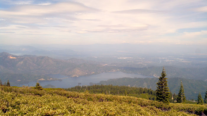 Summit
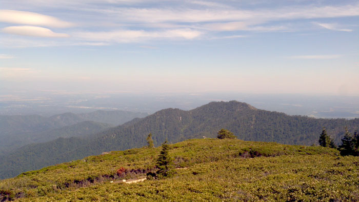 Another view from top
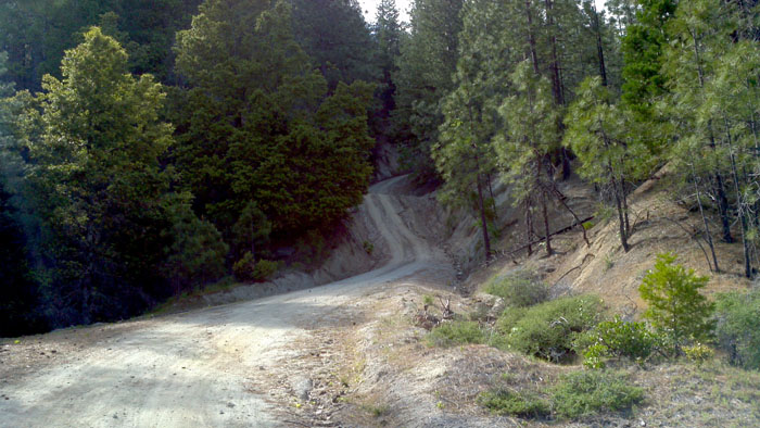 Bally's road