View The Chimney in a larger map
Directions:
From I5 in Redding take the 299 Eureka/Weaverville exit heading west. Drive about 10 miles towards the Whiskeytown Recreation Area. Take a left on JFK Memorial road by the visitors center. Follow the road to the dam and turn right over it. Drive about 3 miles until you reach the Brandy Creek parking lot. There will be a small dirt parking area on the left with Brandy Creek road heading uphill next to it. This is the starting spot. If the area is full there's parking across the street.The Trail:
Start by climbing up Brandy Creek road. The pavement ends shortly and turns into a dirt fire road. Climb the road for about 4 miles staying straight through any intersections. The road ends with a parking area for hikers looking to catch a glimpse of the falls. The trail turns into single track just past the big rocks. Continue to climb and you'll cross a bridge. Turn right after the bridge and keep climbing. Another mile or so, you'll reach another turn. Turn left up Rich Gulch Trail. This embankment is steep and takes you up to the top of the Chimney. Once you get past the peak you get some fun downhill for a few miles. There's a few creek crossings that are easy to cross during the summer months. After hitting the burms and jumps the trail meets back up with Brandy Creek road. Swing a right. You have the choice if you want to incorporate the Icebox trail on this one too. If you decide to stick to the road you have a nice downhill ride back to your vehicle.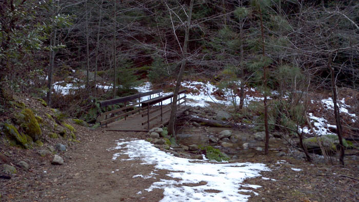 Bridge Crossing
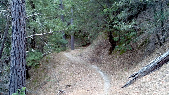 Downhill